
7th April 2025
LYMINGTON PIER TO CHEWTON BUNNY
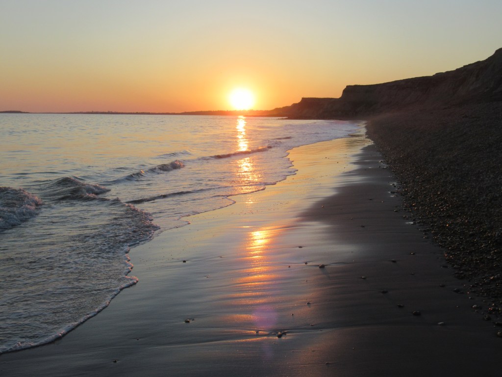
The trains are running again this morning, so I head out before dawn and catch the first train from Southampton to Lymington Pier at the end of the line, passing through the woods and heaths of the New Forest and seeing some Fallow Deer from the window.

With no reason to linger at the ferry port, I start walking up the river to where a road bridge takes me across to Lymington. The day starts off sunny but cold, but soon warms up to be another perfect walking day.
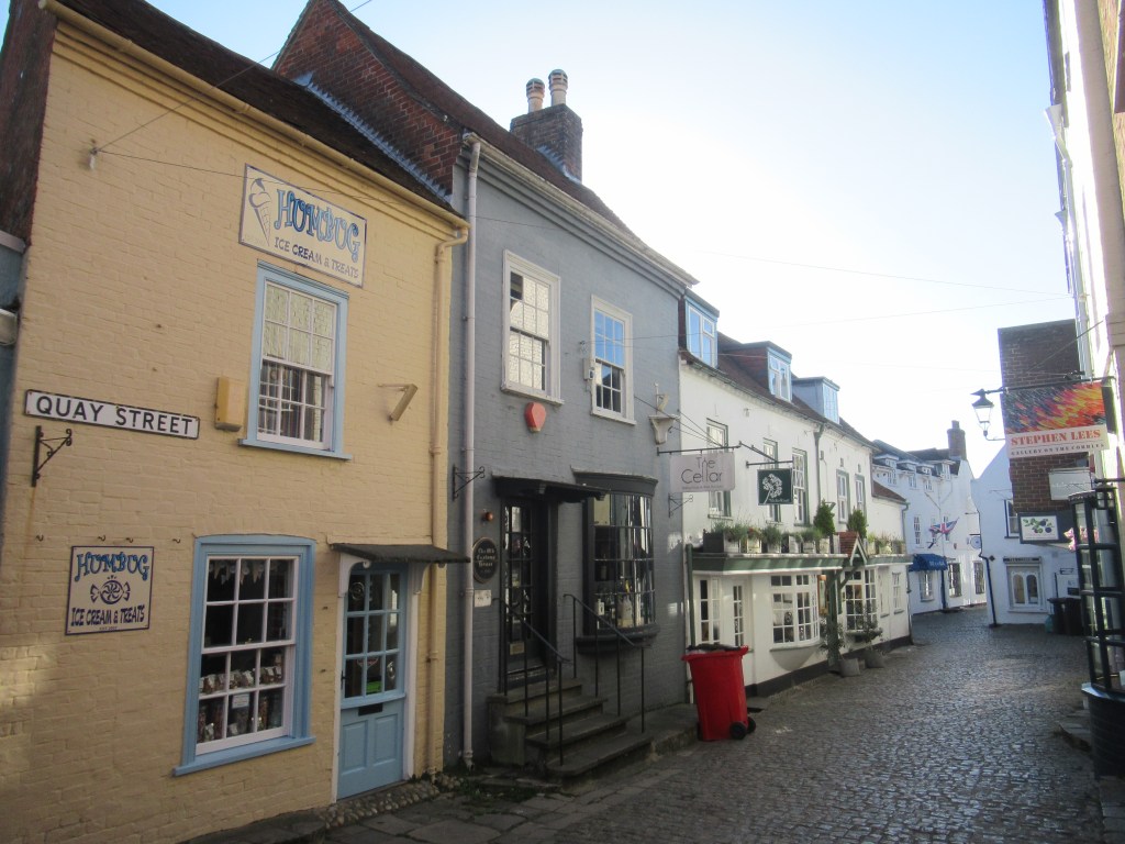
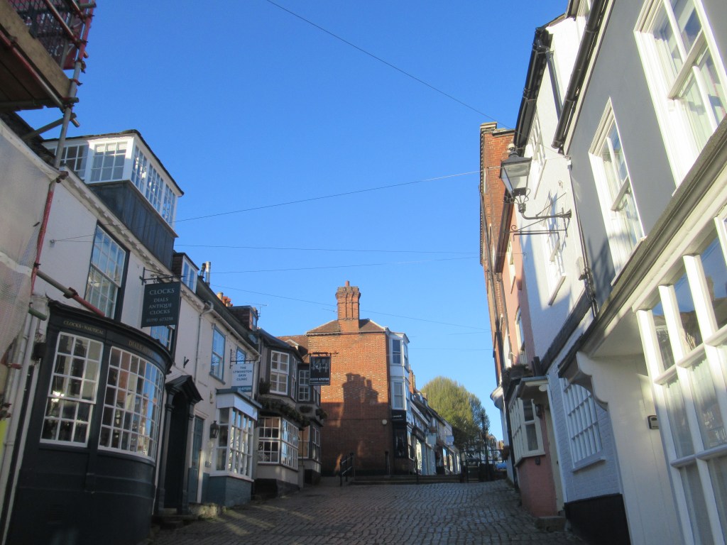
After initially going the wrong way through some new-build apartments, I eventually find my way into the very attractive town. There is an area of narrow, cobbled streets near the quayside and then a steep hill up to a surprisingly long High Street.
I have a walk around until the cafés open at 8am and I can get a full English breakfast. I’m now ready to walk back down to the quayside and continue walking. It all goes well until I reach a marina and fail to spot the footpath running through the middle of it. I come out at the wrong place and continue in the wrong direction down a lane through some fields. Eventually I reach the sea wall around some marsh land and realise where I went wrong. Instead of turning right and continuing along the coast, I decide to turn left and follow the sea wall until I arrive back at the marina, where I turn around and this time take the correct route. This has added considerably to the days walk, but I don’t mind as the wall has taken me around a large lagoon called Normandy which is managed for coastal birds and is alive with various waders and waterfowl, either breeding here or on migration.
The whole of this morning’s walk follows the sea wall enclosing the marshes of Lymington, Pennington and Keyhaven, and this excellent habitat is full of birds feeding voraciously in the mud and water. I take it slowly and spend quite a lot of time watching and filming them.
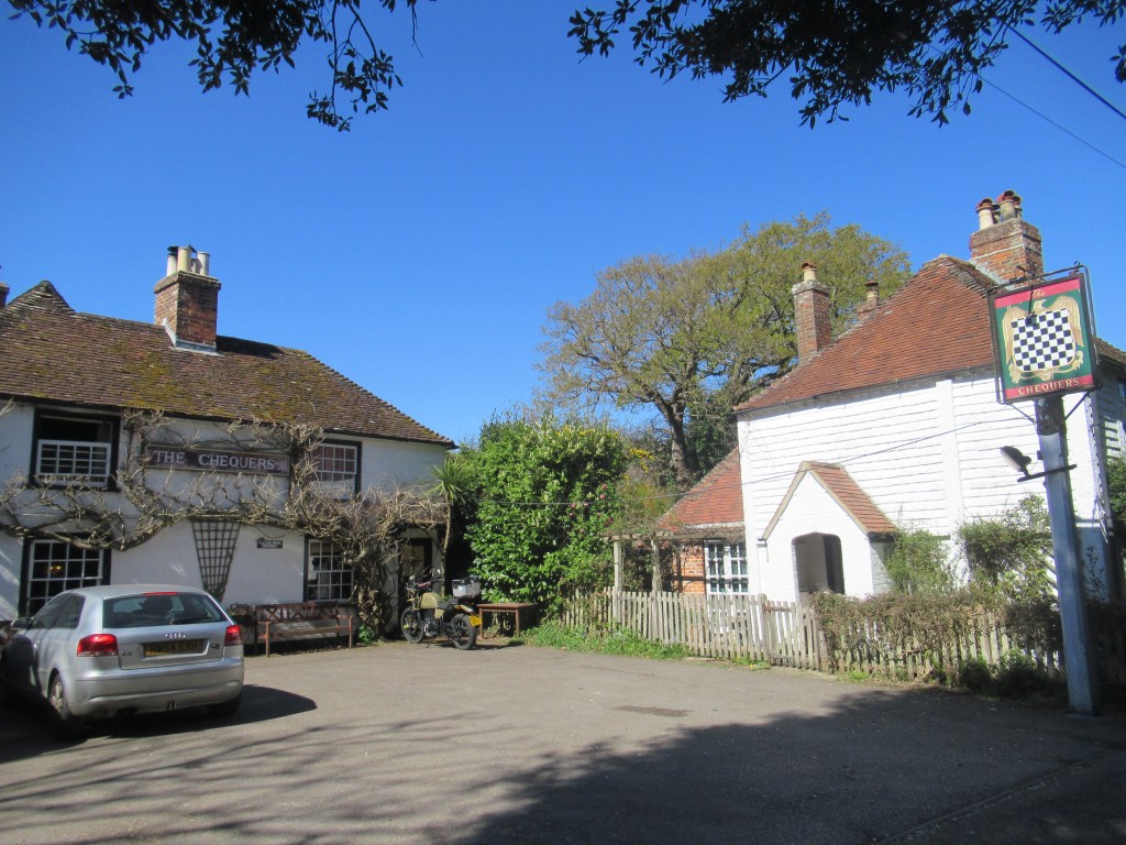
Along the way I pass The Salterns – an area of small lagoons where salt was manufactured until the mid-19th century – and then I take a short diversion for a late-morning beer in a lovely pub just off the trail. I could easily fritter away a couple of hours in their peaceful, sunny beer garden but I have to get going.
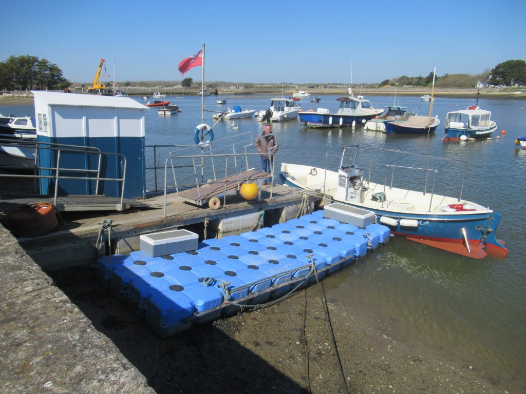
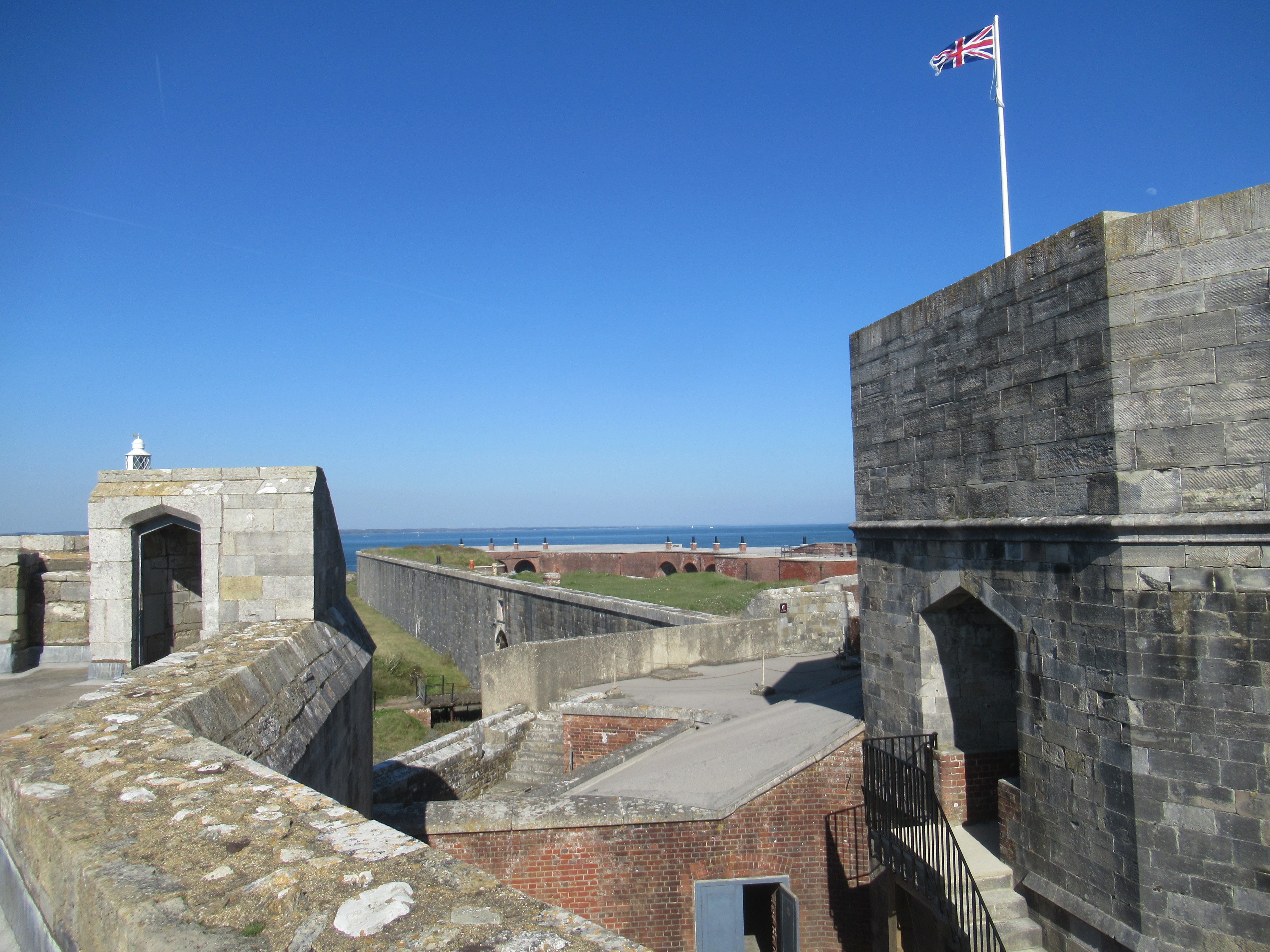
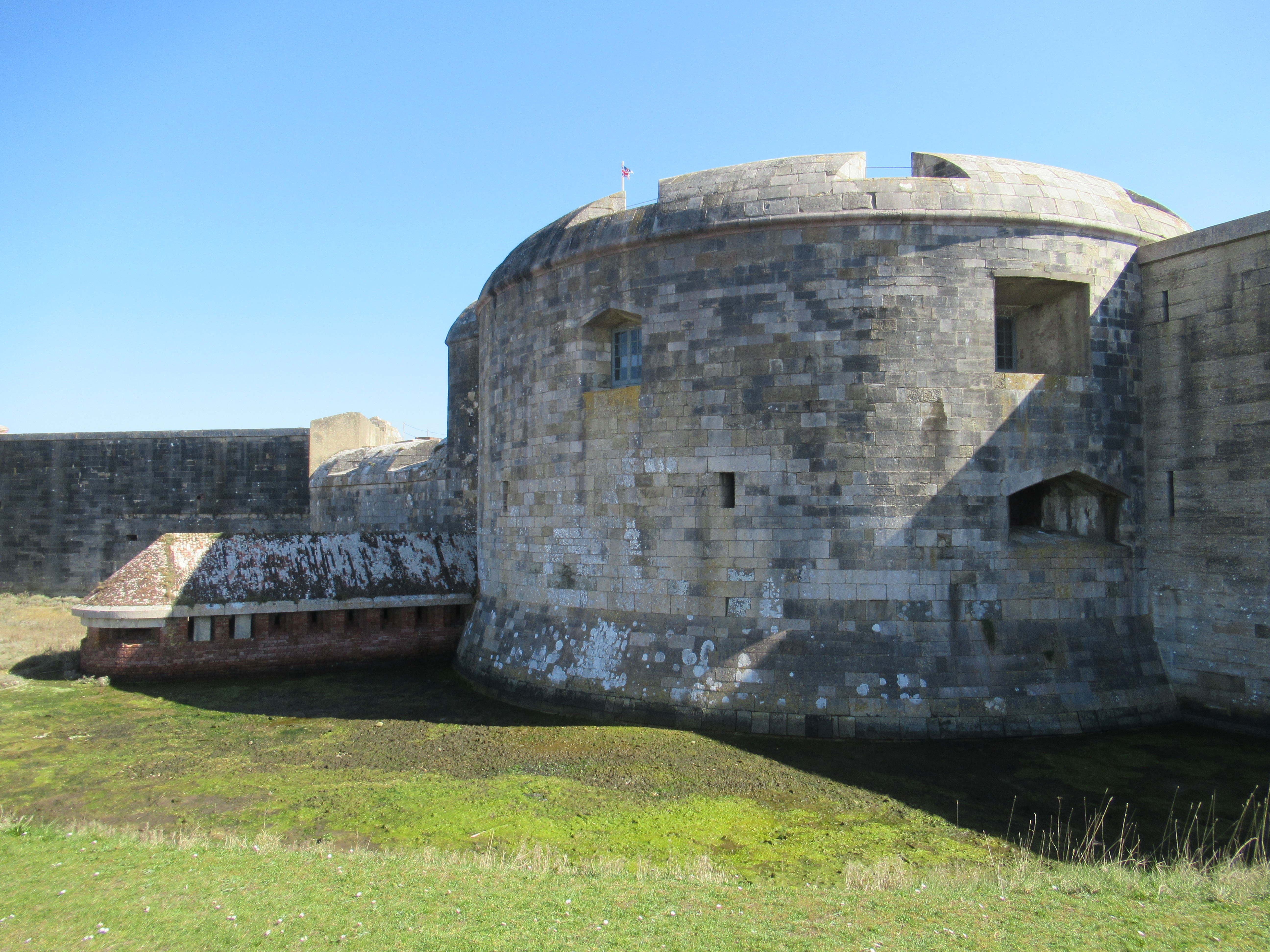
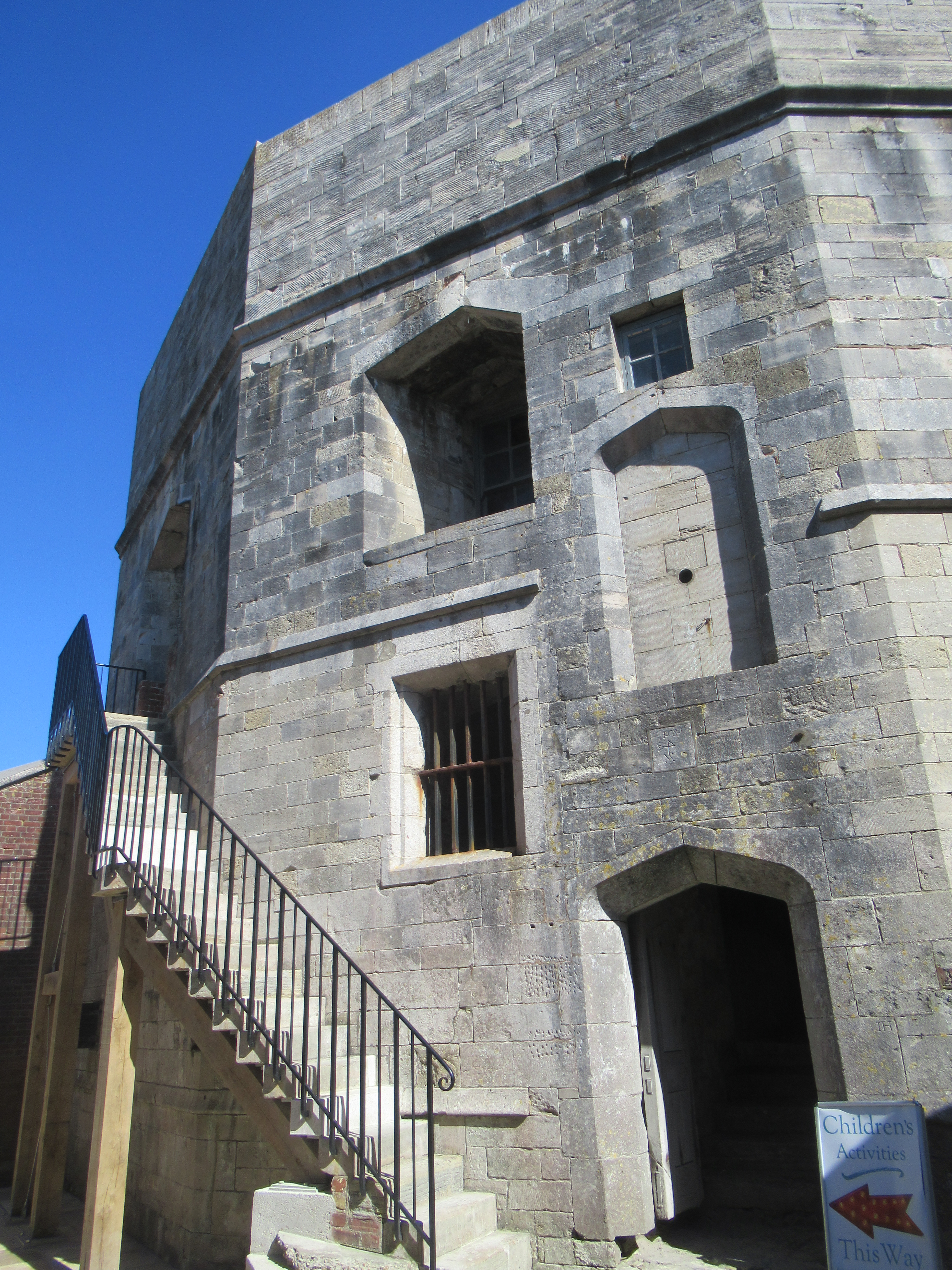
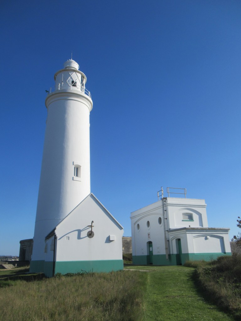
In the early afternoon I arrive at the tiny harbour of Keyhaven intending to visit Hurst Castle at the end of a long shingle spit. In Keyhaven I catch a foot ferry out of the harbour and through the saltmarshes to disembark at the castle.
As with many of the fortifications along the English south coast, Hurst Castle was originally built on the orders of Henry VIII in the 1540s to protect England from invasion by France and Spain following Henry’s break with the Catholic Church. The original Tudor construction was enhanced in the Victorian era by the building of two long gun batteries stretching out on either side. These housed lines of artillery that were better equipped to fire at the much faster ships of the time as they passed by offshore. In this way the western entrance to the Solent was defended. More defensive features were added during the First and Second World Wars. King Charles the First was briefly imprisoned here just before his execution in 1649.
It’s around 5pm when I finish looking around the castle and shingle spit, and it takes me half an hour to walk back along the spit (instead of catching a return boat). I eat an ice-cream and then continue along the coast.
In contrast to this morning’s marshy landscape, the rest of the day’s walk follows sandy cliffs. I walk along the cliff top through Milford-on-Sea and, for the first time in many miles, I am no longer in the shadow of the Isle of Wight. I have passed The Needles on the island’s western tip and now I have only open sea to my left.
Not long out of Milford I find the coast path has been closed off due to multiple cliff collapses in the area up ahead. I walk back a little way to where steps lead down to the beach through multiple rows of beach huts. A large group of partying teens is gathered here, and on the beach below, and the air smells strongly of weed.
I continue along the beach but my progress is slow along the shingle. The tide is in and I try walking along the firmer shingle at the water’s edge, occasionally having to jump up and away from the larger waves. After what seems like ages I come to a tiny stream flowing down the cliff where it is possible to climb back up to the top. There is another, smaller group of teens here trying to get a campfire started.
As the beach I have walked along is featureless, I have no idea how far along the map I have progressed. I find out later that the stream is called Becton Bunny and is a good place to find fossils. Before long I reach Barton-on-Sea just as it is getting dark, but the walking is now much easier on the clifftop across wide, grassy parks.
At the western end of Barton I reach the fence of a private caravan park. The county of Dorset, and the end of the day’s walk, is only about ten minutes away but I can go no further. I might have made it along the beach but now it is too dark to find a way down and risk it, so I find a footpath leading inland through a suburban neighbourhood. It takes a few twists and turns to find the main road but I’m starting to quite enjoy a bit of nocturnal suburban orienteering.
Not far along the road I reach another stream cutting a small valley down to the beach. This one is called Chewton Bunny and on the other side of it is Dorset. There is a sign here pointing down to the beach and also a bus stop, so continuing from here on the next leg of walking should be straight forward, but that’s for another time. Right now the last bus passed by about two and a half hours ago, so I have to walk a couple more boring miles to the nearest station to catch a train to my accommodation in nearby Christchurch. Tomorrow I’ll spend the day birding in the New Forest and then visit the historic city of Winchester before heading home.
18.8 miles; 30.3km; 13.5 hours
Travelodge, Christchurch (£36.99)

Leave a comment