Wednesday 6th March 2024
PORTSMOUTH HARBOUR TO WARSASH
With the sky clearing overnight, the temperature has dropped again and I wake up early to another frosty morning. This time even the zip on my tent has frozen solid and I’m trapped inside. Eventually I manage to work it open enough to create a small slit from which I emerge into the dawn like a new-born baby.
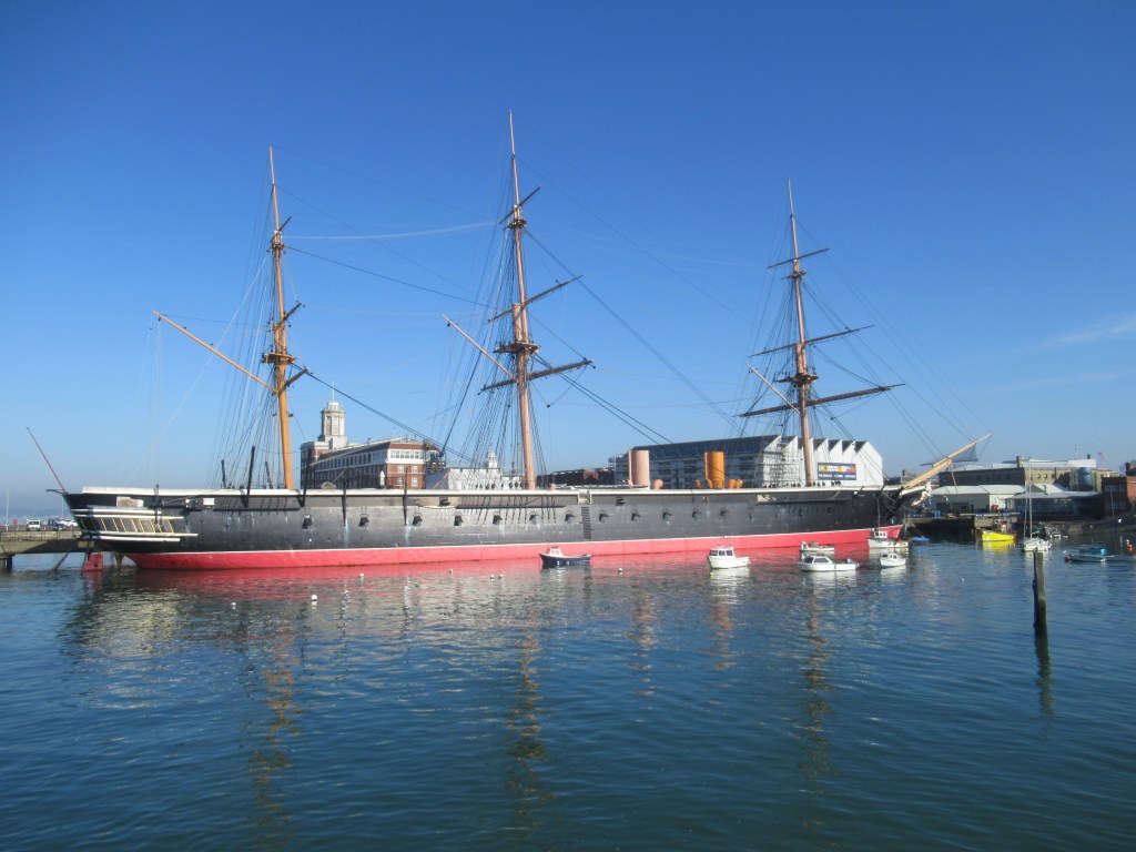
This time I catch the train back into Portsmouth and exit the station to a stunning view of HMS Warrior across the quay, beautifully lit by the morning sun.
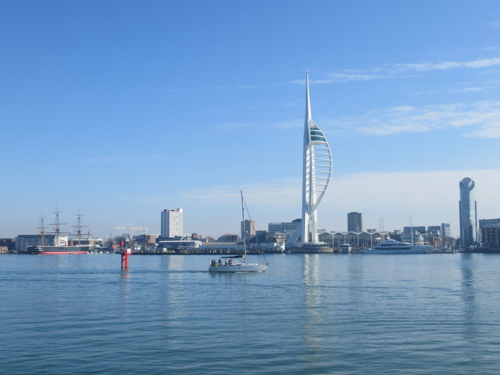
I guess it’s technically possible to walk all the way around Portsmouth Harbour, but a look at the map shows that very little of the waterside is accessible, and it would just be a long, two-day trudge along busy roads. Fortunately, right outside the railway station is a ferry across the mouth of the harbour to Gosport.
This is a bigger craft than Hayling Island ferry and, after a five minute crossing, I’m walking through Gosport’s attractive waterfront and feeling optimistic about the day ahead.

There follows a bit of boring road walking before I reach the coast again at an old fort on Gilkicker Point, from which I can clearly see Queen Victoria’s summer residence Osborne House on the Isle of Wight. According to an information board, the shingle beach here is home to the rare (and brilliantly named!) Gilkicker Weevil. It’s probably too early in the year for insects, and sadly I see no weevil of any kind.

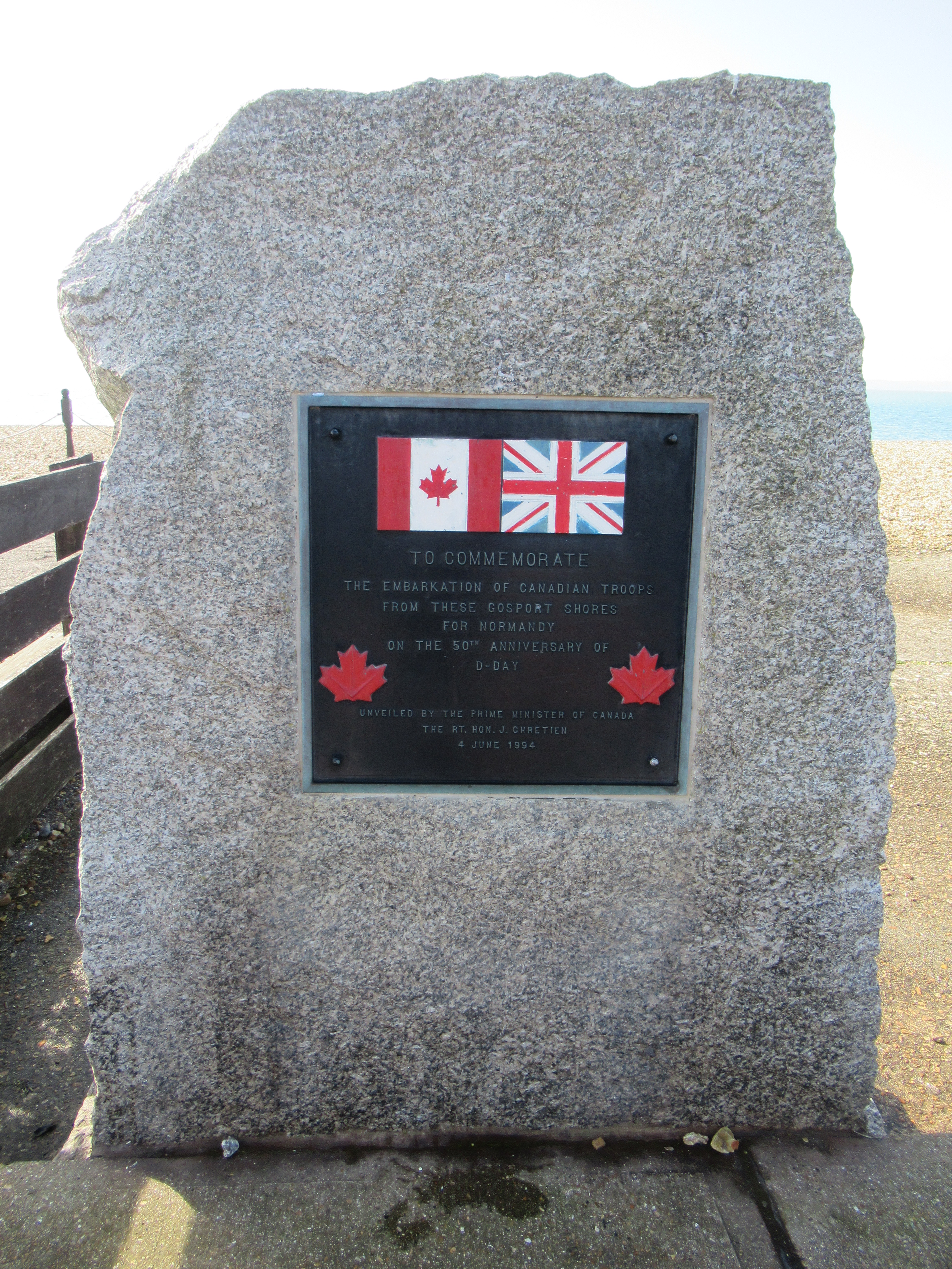
The walking from here is very pleasant – at first on shingle and then on a good seafront path. During World War Two this area of coast is where mulberry harbours were built for the Normandy landings of June 6th 1944. They consisted of large, hollow concrete blocks that were floated across to France and joined together to form landing jetties where troops and vehicles could disembark during the D-Day invasion. I’ve been to Arromanches in France and seen the remains of this mulberry harbour that are still visible today. In fact, a small section can be seen just off Hayling Island where I caught the foot ferry a couple of days ago.
Amongst the vehicles departing from this beach were the eccentrically modified tanks known as ‘Hobart’s Funnies’. These were designed by Major General Sir Percy Hobart, with special adaptations for specific tasks such as clearing mines, laying bridges, or floating on water. This beach is also where Canadian troops embarked on their way to the beach codenamed Juno, one of the five Normandy landing beaches.
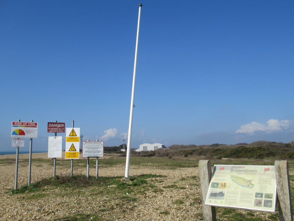
I walk through Browndown Military Training Area for half an hour of shingle plodding. The red flags are not flying today, which means no live firing is taking place and it’s safe for members of the public to pass.
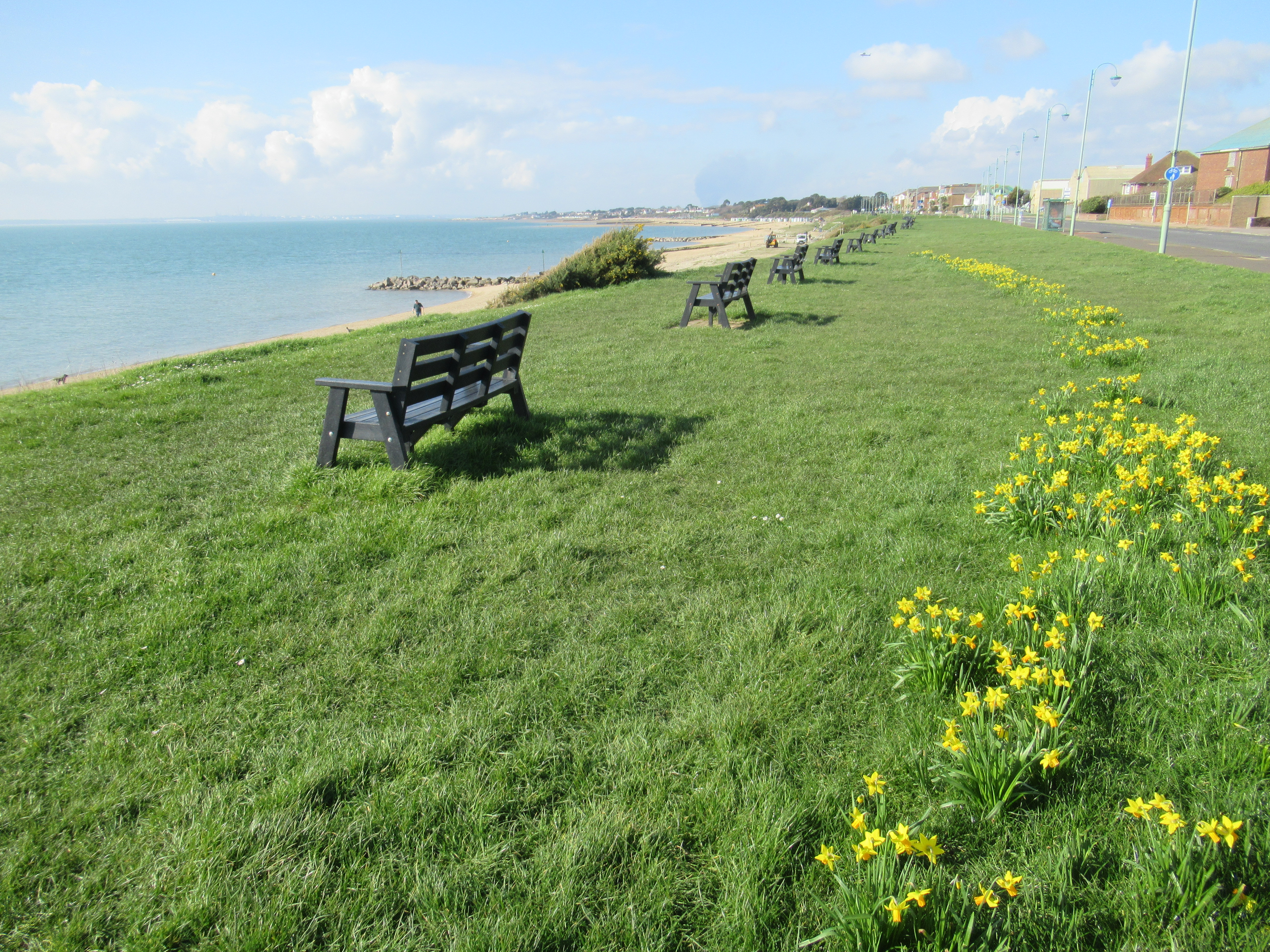
In Lee-on-Solent I stop for a pub lunch then continue past the visitor centre of Titchfield Haven Nature Reserve. I wish I could visit but there is an entry charge and I don’t have enough time here to justify it. The path then continues past farm land on the top of a low cliff between hedgerows. It’s very muddy and has an annoying detour around an area of cliff subsidence.

Eventually I arrive at the village of Warsash, where a bright pink ferry takes walkers and cyclists across the River Hamble, thus saving them a long trip up the river and back down the other side. Unfortunately I arrive half an hour after the last ferry, so my day’s walk ends here. It’s an attractive village and was another embarkation point for the D-Day troops. I had hoped to get a little bit further but there’s nothing to be done except get back to the campsite via a combination of bus, two trains, and another bus.
13.5 miles; 21.7km; 7.0 hours
The Oven Campsite, Hayling Island (£20)

Leave a comment