Monday 4th September 2023
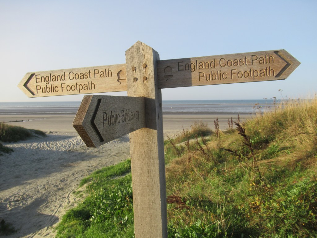
ALDWICK BAY TO EAST WITTERING
I wake up on the beach at dawn and start walking almost immediately. Today will be a long day in order to get to the campsite I’ve chosen. The distance straight along the coast isn’t too far, but there are two large inlets that I have to walk around, which greatly increase today’s mileage.
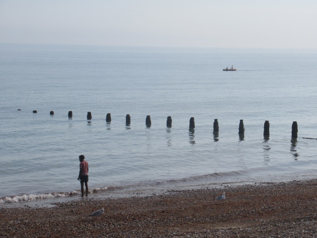
I continue south-west along the shingle beach until I come to the first of the inlets just as the sun is rising. This is Pagham Harbour, a large wetland area managed as a nature reserve by the Royal Society for the Protection of Birds (RSPB). I stop at a bench and eat a sandwich and snacks before starting the long trek around this natural harbour. Fortunately the way ahead is varied and interesting, so I take my time and do a bit of birding. This is the peak of the autumn migration season and there are plenty of passage migrants around.
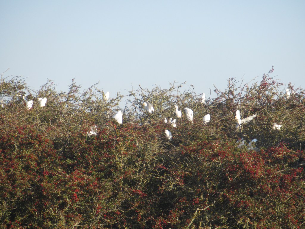
Most impressive is a nesting colony of Cattle Egrets in the tops of bushes close to the path. These small herons from southern Europe are spreading north and are recent breeding colonists to the UK. These days I see them fairly regularly near my home patch in East Anglia, but the 35+ I count today are by far the most I’ve ever seen in England. There are plenty of well-grown juveniles born this summer, and the adults are flying back and forth with food that they have foraged from beneath the hooves of a nearby herd of cows.
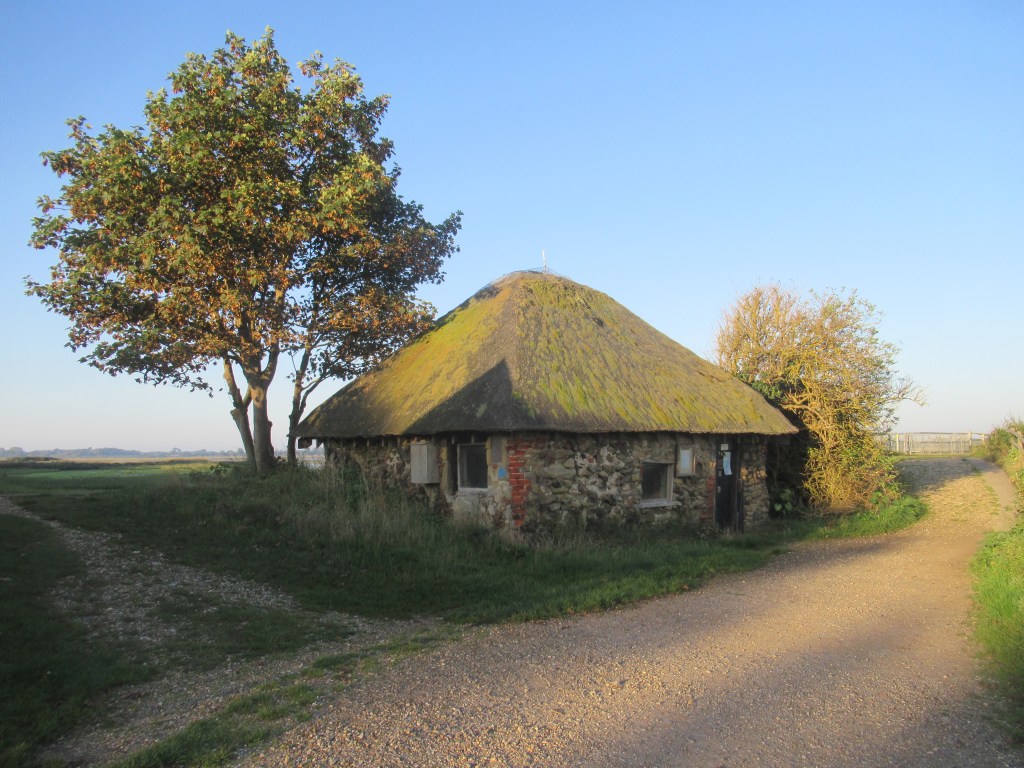
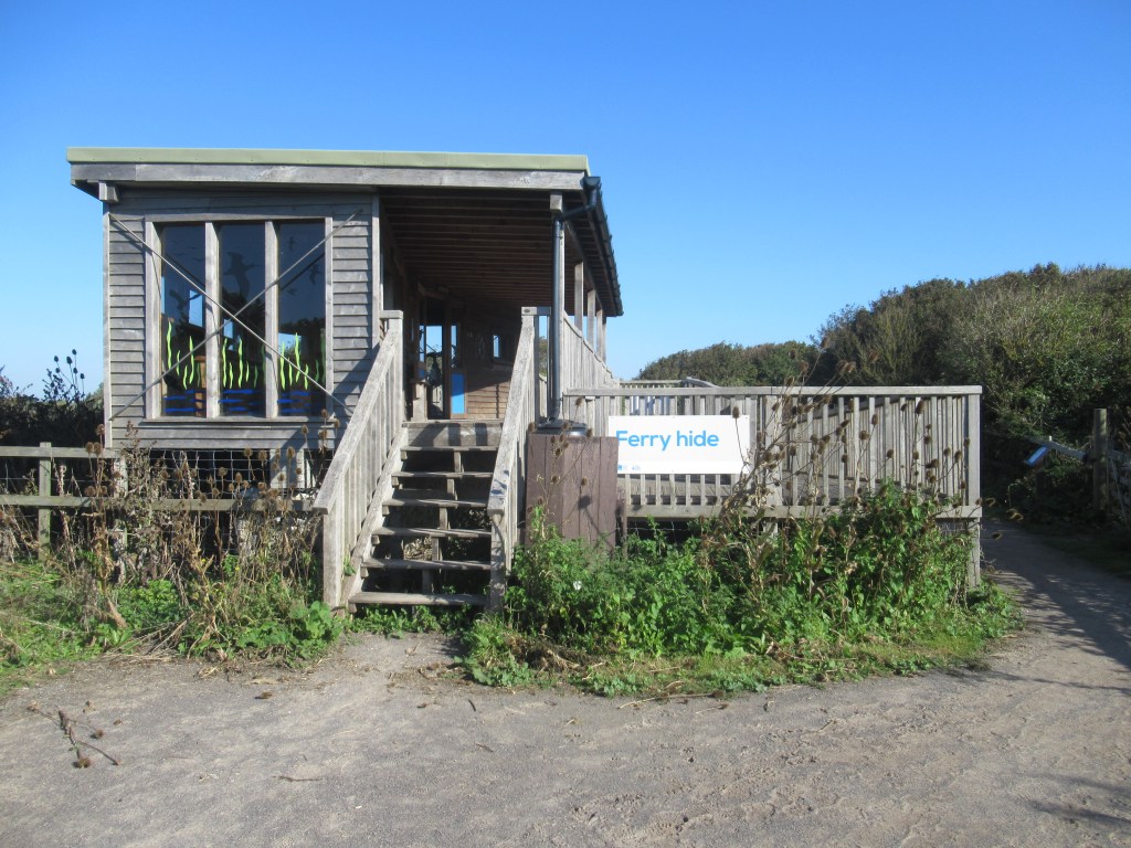
By 8.30am it is already setting up to be another hot day. Further along I stop off at the reserve visitor centre, but it doesn’t open for another hour. Fortunately the bathrooms are open and I can have a quick wash. The facilities here are very good, with a couple of new-looking, well-designed hides.
The total distance around Pagham Harbour is about five miles (8 km) and it takes me four hours to walk slowly around it. When I arrive back at the coast I walk around Church Norton Spit at the mouth of the harbour. From the tip I can see the bench where I stopped for a sandwich earlier. It’s only about 500 yards (1/2 km) away across the inlet.
After rounding the spit I continue south-west along the coastal side. It’s only now that I realise that this is a nudist beach, so I have to be careful where I point my binoculars!
I have a bit of hard shingle walking in front of some nice beach-front houses, and then I join a promenade to continue to the town of Selsey, which doesn’t seem to have much going on in the way of seaside shenanigans. There are a couple of kiosks and a pub that isn’t open, but apart from that it seems mostly residential. Selsey Bill is a triangular point of land sticking out into the English Channel. This area used to be an island and Pagham Harbour used to be connected to the other inlet on the western side. Once I walk around the southern tip I change direction and head north-west. I can now see the Spinnaker Tower up ahead in Portsmouth and, just to the left, the Isle of Wight. It’s a clear, sunny day and visibility is very good.
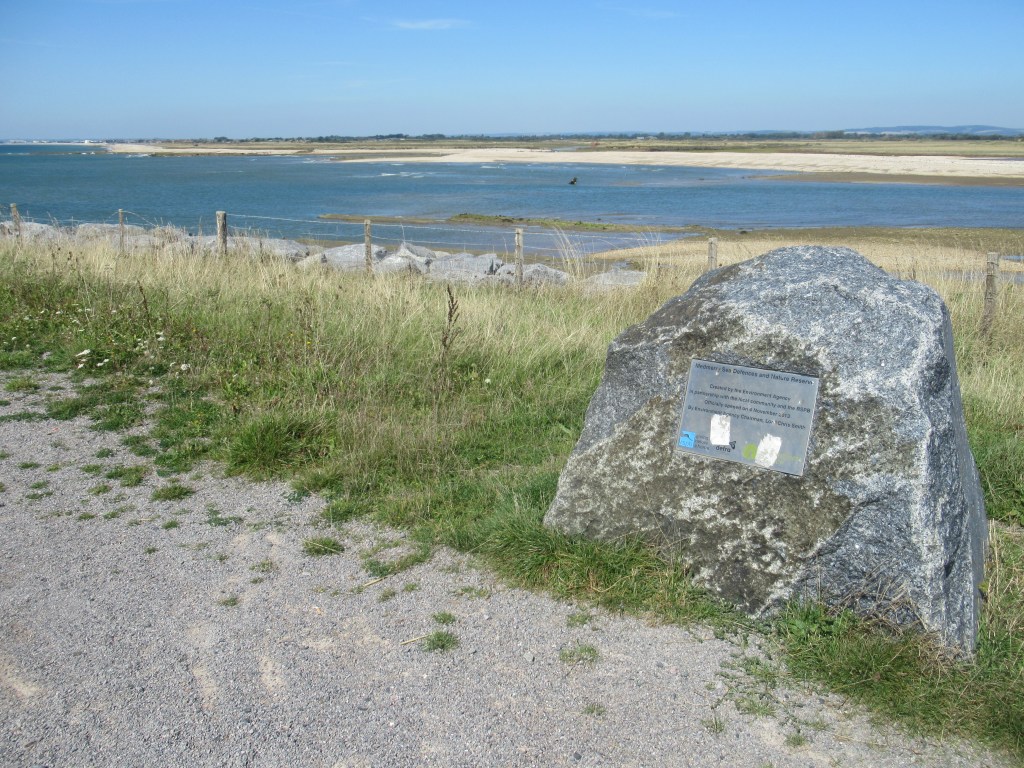
I walk along the beach past a holiday camp and soon reach the other inlet that has to be walked around. This is another RSPB reserve called Medmerry. This inlet is fairly new and, until recently, I could have just walked along the coast. However, the land here has been reclaimed from the sea and the sea defences are becoming increasingly pointless and expensive to maintain. After the most recent occurrence of the sea breaking through and flooding the land beyond, it was decided to allow a managed realignment of the coast rather than trying to hold back the tide. There are numerous such projects around the coast as we have gradually leaned that allowing natural habitats such as saltmarshes to develop is more effective in protecting the coastline than expensive man-made defences. It also creates some impressive wildlife habitats. One day Medmerry and Pagham Harbour may join up and Selsey will be an island once more.
It took me just over three hours to walk around the edge of Medmerry and arrive back at the coast. This reserve has good habitat but doesn’t really have much infrastructure and, with it now being a hot afternoon, the birds are mostly laying low. It’s still a very pleasant place to walk though, but I’m hot and tired, so I take frequent rests.
Once back on the coast it’s a fairly short walk to East Wittering, where I’ll be staying at a campsite just north of town for the next three nights. I have a much needed cold drink at a beach café then head off to check in. The campsite is very friendly and has great facilities. Once pitched up and showered, I walk back into town, have a beer in the pub and then fish and chips for dinner. The town is surprisingly lively for a Monday evening. All the restaurants and the pub are busy, and even the fish and chip shop seems to be struggling to meet demand. I have to wait a while for my food, but it’s worth it in the end.
19.5 miles; 31.5 km; 10 hours
Stubcroft Farm Camping, East Wittering (£26)

Leave a comment