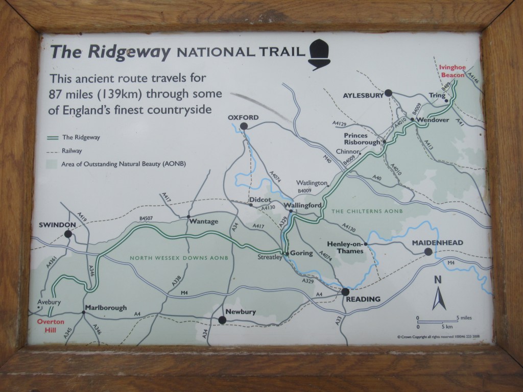
WENDOVER TO IVINGHOE BEACON
6th July 2023
Wendover is a very attractive small town with all the facilities you might need on a hike. I got off the train from Aylesbury and continued where I left off by walking along the High Street, which today had a market. Before leaving, I ate a full English breakfast in a café then left town via a park with a little stream, a pond, and a community orchard. Past a church and I was on my way for the final day of the hike. At less than 12 miles (19 km) it was also the shortest day.
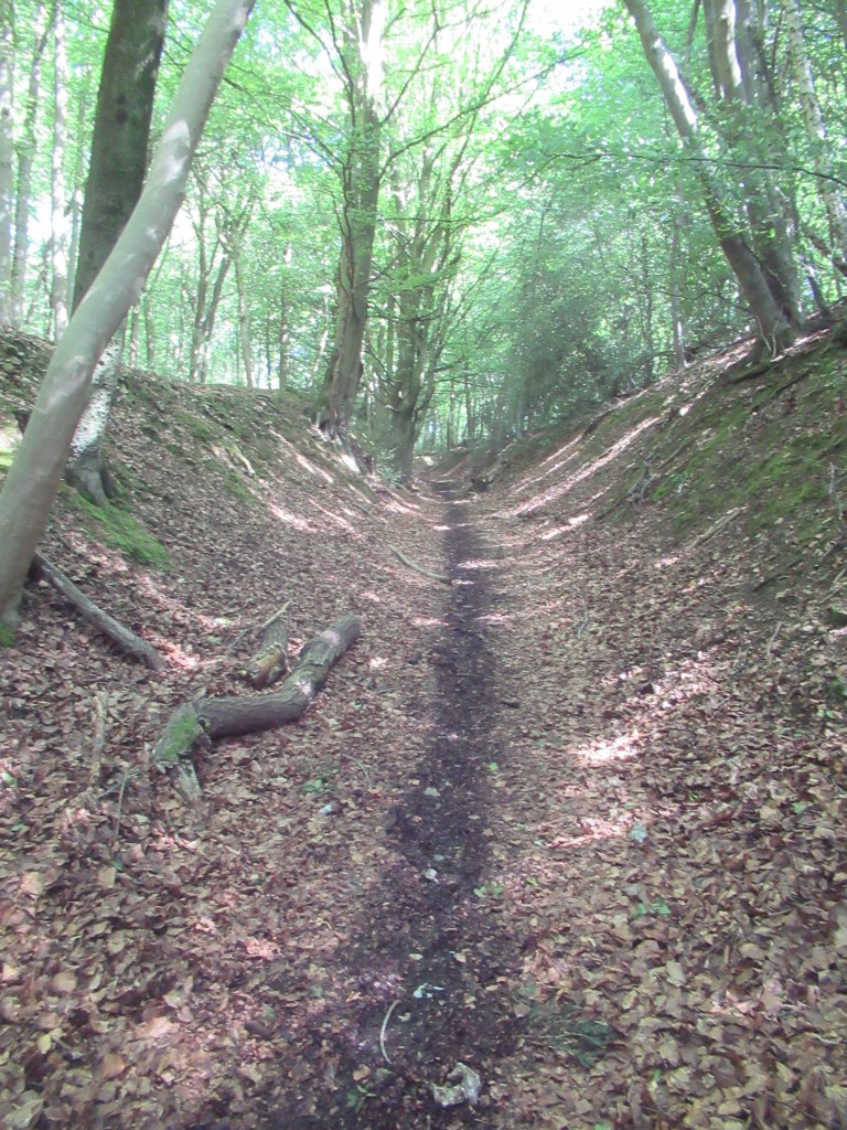
The trail went mostly through some nice Beech woods on good, wide paths. It followed the bed of a long ditch, crossed an open cow pasture, then entered more woodlands. I passed quite a few groups of teenagers on organised local hikes, with laminated maps, and I stopped to help one group with their navigation.
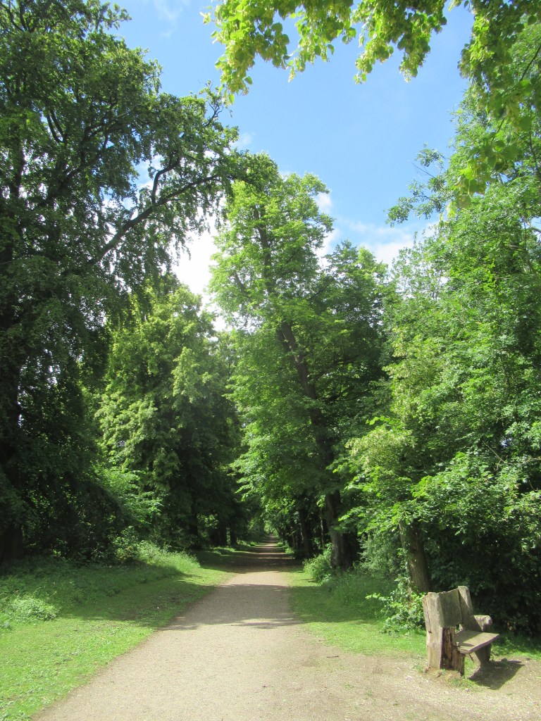
Just before midday, after a short stretch of road walking, I entered Tring Park – another well wooded area with a wide track though it. It was getting hot, so I stopped for a rest at a bench with a good view over the town of Tring in the valley below. I would have liked to have wild camped here, as this is the epicentre for Britain’s introduced population of Edible Dormice. I have never seen one before and they are supposedly quite easy to spotlight at night. I wouldn’t eat them though, despite their name.
From Tring Park, the path descended gradually alongside more pastures, then crossed high above the A41 dual carriageway on a long, narrow footbridge that might cause problems for anyone with a fear of heights. Not long after, I crossed over the Grand Union Canal, which runs from London to Birmingham, and then I arrived at Tring railway station. I had crossed briefly from Buckinghamshire into Hertfordshire but would be crossing back before the end. Tring station is quite a way outside Tring town, and it would have made a good place to end as this is where I catch my train home. However, I still had more than 3 miles (4.8 km) left to walk, so I continued over the railway line and began to ascend again.
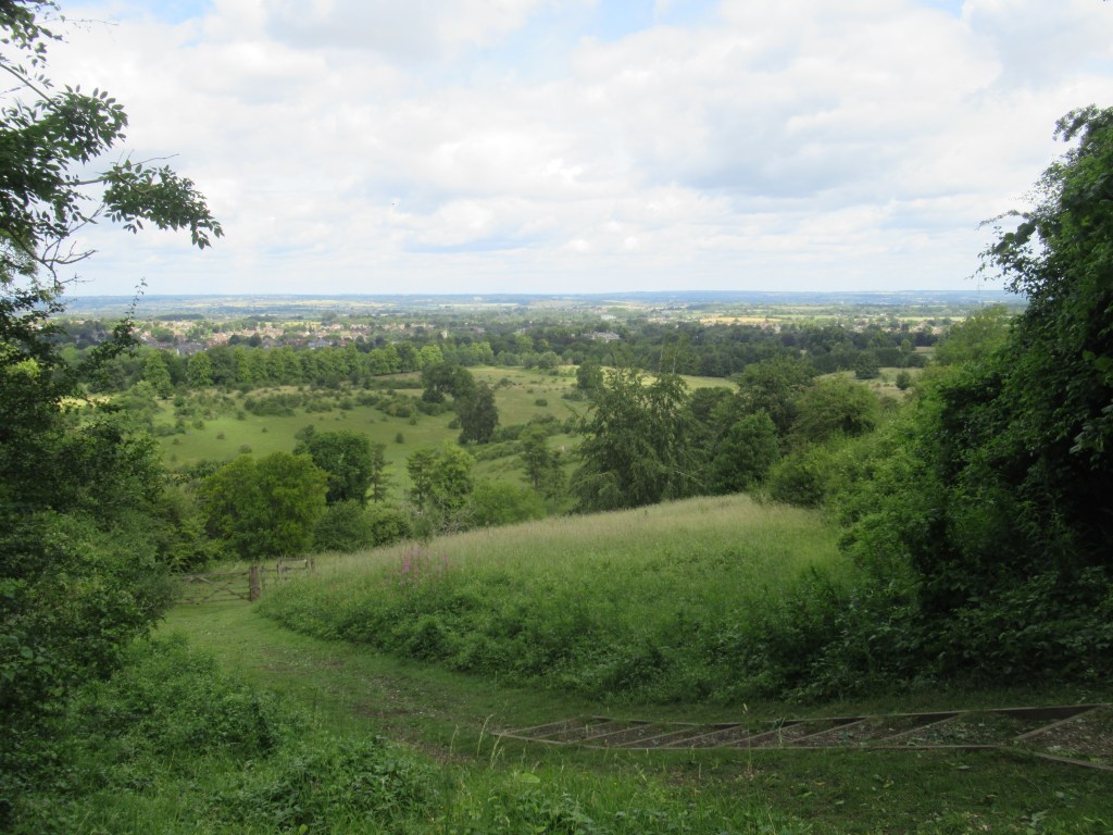
The final part of the hike was very enjoyable as it passed through Aldbury Nowers Nature Reserve, emerging from woodland onto the wide, grassy plateau of Pitstone Hill. From there I could see the end of the route for the first time, on the final one of a series of small chalk hills.
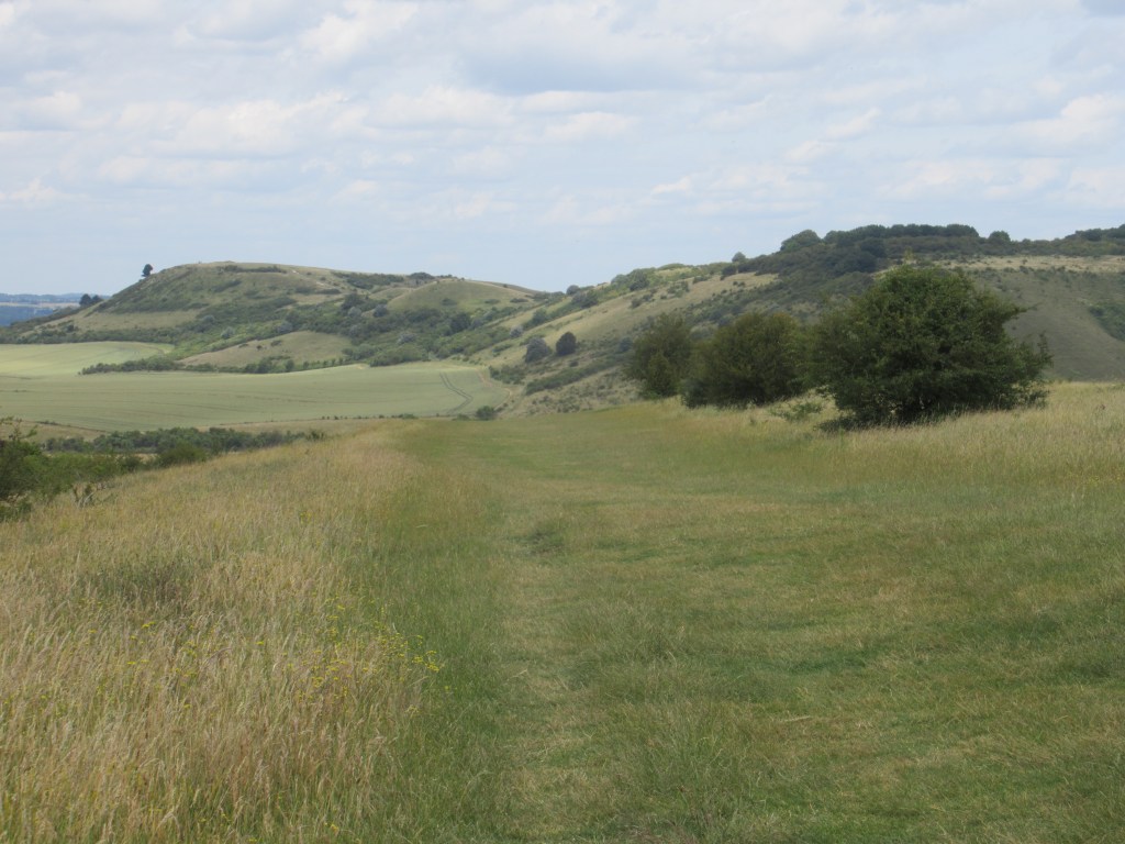
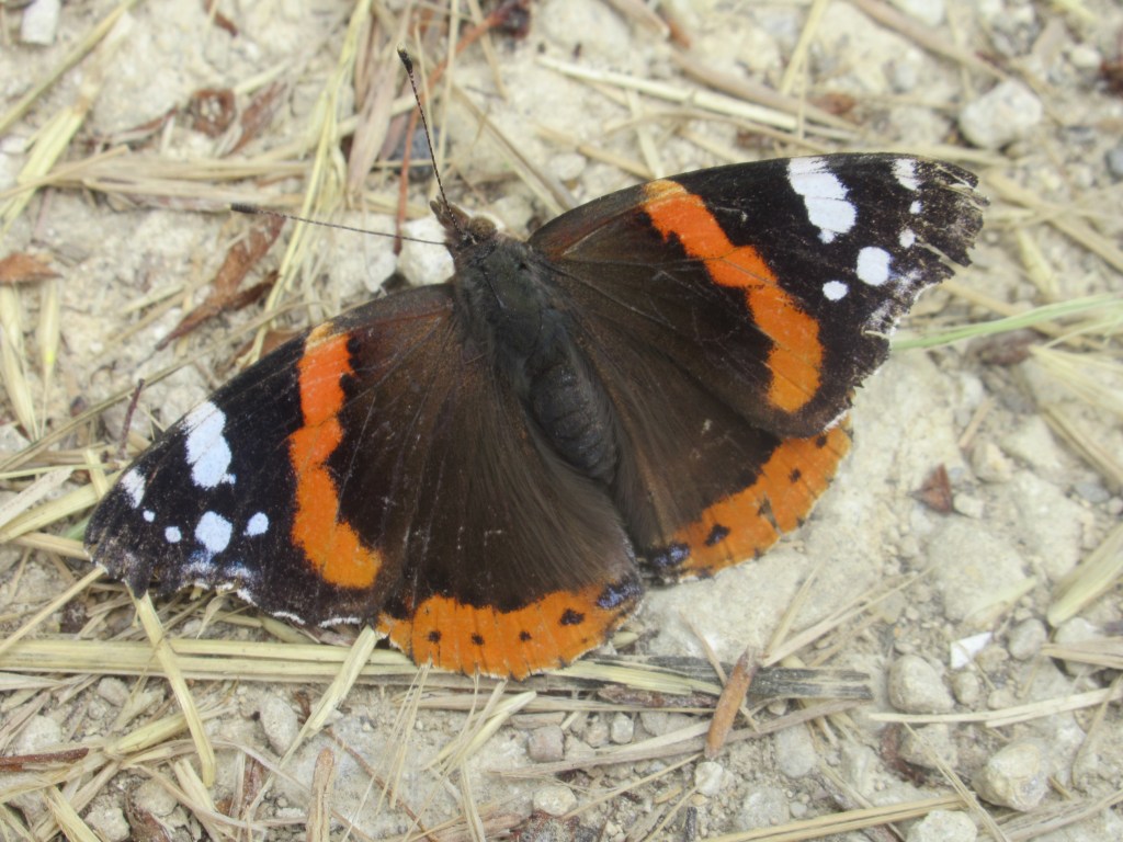
I took the last two miles slowly, savouring the views and looking out for wildlife. The reserve is well known for its butterflies, and I managed to identify thirteen species off the top of my head, as well as a Hummingbird Hawkmoth hovering around some flowers, and numerous birds.
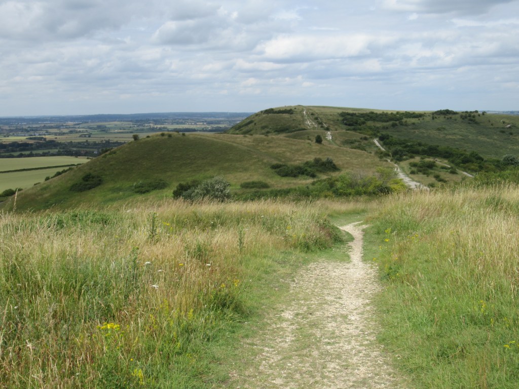
There was a variety of paths up to the finish line at Ivinghoe Beacon, and the official Ridgeway path took one that was a bit strange in places and not always the most obvious. I reached the end at 2.45pm and it was (mostly) all over. Rather than walk to the nearest village to catch a series of buses, I decided to retrace the 3 miles back to Tring station. I had really enjoyed the nature reserve, the weather was nice, and it was mostly downhill on the way back.
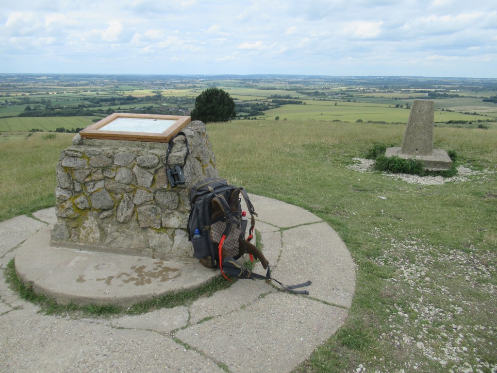
I spent some time admiring the 360° views from the top of the hill – including a large chalk lion carved into a nearby hillside (makes a change from a horse) and the set of the new Wicked film – then started heading back down. Once back at Tring station I resisted the urge to continue all the way back to the western end, instead catching the train and beginning my journey home.
11.6 miles 18.6 km 5.75 hours
The Ridgeway was a relatively easy and gentle walk compared to other National Trails in more mountainous country. Any uphill walks were usually quite long and gradual, and the few steep parts were very short. It isn’t a particularly adventurous trail, but it’s very enjoyable nonetheless. The route was probably the most comprehensively waymarked trail I have ever hiked, and it would be difficult to go too far wrong. The path is also very well maintained.
I used the fifth edition of The Ridgeway guidebook from the Trailblazer series, written by Nick Hill and published in 2021. It was written during Covid, so many of the places that are said to be closed in the book are now open as normal. The maps in the guide were easy to follow and informative, and I didn’t need to take any other maps with me. I took a compass but didn’t need to use it.
With the route being mostly intuitive and obvious, and no real navigation issues, this is a good trail for anyone who wants to just switch off their brain, walk, and enjoy the scenery. It is also good for anyone interested in ancient history and (in Spring and Summer) wildflowers, butterflies and birds.

Leave a comment